Browns Canyon
National Monument
Access
The vast majority of visitors to Browns Canyon National Monument arrive via raft during the recreational boating season, experiencing Class II-III rapids with one Class IV during high flows. Rafting Browns Canyon affords opportunities to take a breather at plenty of swimming holes surrounded by rugged wilderness scenery. To book a raft trip through Browns Canyon National Monument, visit the Arkansas River Outfitters website to get connected with Arkansas River guides and outfitters.
All land access to Browns Canyon National Monument is via unpaved roads that have blind corners and other hazards. The most popular land entrance to Browns Canyon National Monument is the Ruby Mountain trailhead off U.S. Highway 285 via County Road 300 in the northwest corner of the monument. The Ruby Mountain trailhead provides free parking and access to almost all of the Browns Canyon trail network, where hikers can enjoy a true wilderness experience in the Browns Canyon Wilderness Study Area.
The Ruby Mountain Trailhead is the main access point for hiking in Browns Canyon National Monument. The trailhead features picnic tables, vault toilets and free parking that can accommodate a limited number of vehicles with trailers. No fee is required to use these features. No mechanized travel is allowed on these trails (including mountain bikes) as the trails pass through the Browns Canyon Wilderness Study Area.
The AHRA Ruby Mountain Recreation Site features a campground with restrooms, changing facilities, a boat ramp and picnic sites. A fee is required to use the AHRA facilities.
Hecla Junction, in the southwest corner of the monument at the end of County Road 194 (also off Highway 285), is another popular access point. The area features an AHRA campground, restrooms, changing facilities, a boat ramp and picnic sites. It is the primary location for taking boats out after floating through Browns Canyon. Use of AHRA facilities requires a fee that can be paid onsite.
Aspen Ridge, along the eastern boundary of the national monument, is accessed via Aspen Ridge Road (County Road 185/Forest Service Road 185), which runs between County Road 187 north of the monument to County Road 184 south of the monument. High clearance 4×4 vehicles recommended. Vehicles must remain within one vehicle length of the road when parking.
Turret Road, (Forest Service Road 184) off Aspen Ridge Road provides a rugged four-wheel-drive experience into the heart of the Monument. Like Aspen Ridge Road, vehicles must remain within one vehicle length of the road when parking. There is a small parking lot at the end of Turret Road near the Browns Canyon Wilderness Study Area, where the route transitions to Turret Trail, where mechanized travel is not permitted. Turret Trail connects to the Ruby Mountain trailhead.
Seasonal Closures
Various roads and areas in and around Browns Canyon National Monument are subject to seasonal closures, mainly to protect sensitive wildlife species and critical habit. Please plan your visit accordingly and respect all seasonal closures for the benefit of the monument’s uniquely diverse wildlife species.
- Human use of trails during fall and winter can cause stress on wintering big game. They are especially vulnerable to weight loss due to lack of high-quality forage during this time.
- Pregnant animals are especially sensitive to stress and their survival increases when habitat is free of disturbances from humans and pets.
- Choosing to avoid activities on trails will allow those animals to more easily survive the winter.
December 1 – April 15
Turret Road
Turret Road (Forest Service Road 184) is closed in the national monument from Dec. 1 until April 15 each year to protect critical habitat during the months when wildlife are at their most vulnerable due to winter weather conditions and food scarcity.
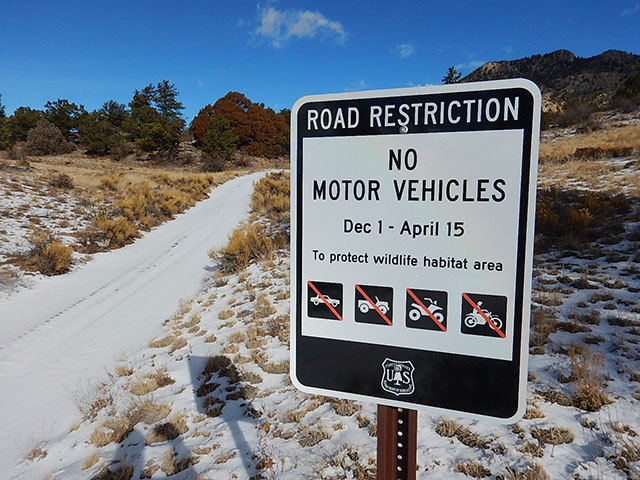
Aspen Ridge Road
Along the eastern boundary of the national monument, much of Aspen Ridge Road (Forest Service Road 185) is closed from Dec. 1 until April 15 to protect critical winter wildlife habitat.
Forest Service Trails 1434, Forest Service Road 185D
Along the northern boundary of the national monument, Forest Service Trail 1434 and Forest Service Road 185D are closed to protect critical winter habitat. 1434 is an ATV trail for machines with a maximum width of 50 inches.
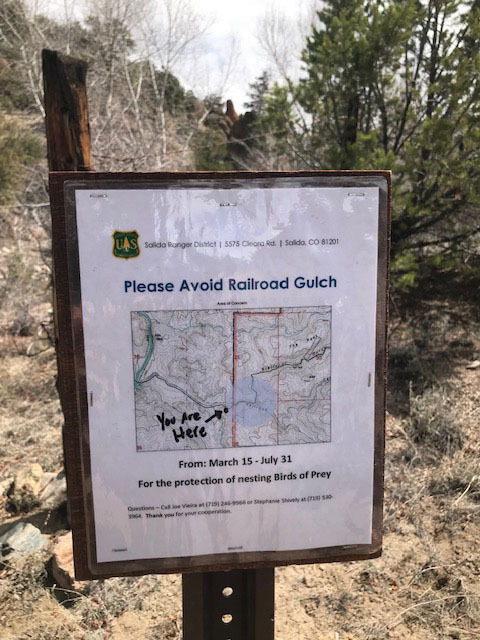
March 15 – July 31
Railroad Gulch
The Railroad Gulch closure is from March 15 to July 31 each year to protect sensitive nesting locations for raptors.